Soaring Solutions for Every Horizon
We deliver high-precision aerial mapping, inspections, and land management solutions with technical integrity and professional excellence.
AERIAL MAPPING • PRECISION INSPECTIONS • LAND MANAGEMENT • AGRICULTURAL SPRAYING • REAL ESTATE PHOTOGRAPHY • EQUIPMENT RENTAL • HIGH-RESOLUTION DATA •
Specialized Equipment & Solutions
Aerial Mapping & Surveying
High-resolution topographical mapping and 3D modeling for precise land management and infrastructure planning.
Structural Inspection
Comprehensive drone-based inspections for bridges, pipelines, and industrial facilities using thermal and LiDAR sensors.
Precision Spraying
Optimized aerial application solutions for crop health monitoring and targeted pesticide distribution.
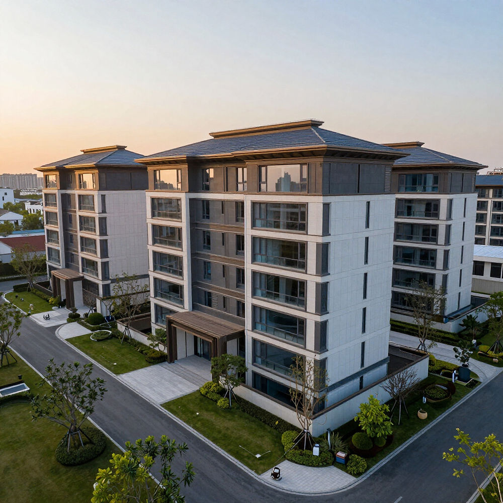
Real Estate Analysis
Comprehensive aerial data for property valuation, zoning analysis, and development feasibility studies.
Land Management
Integrated data solutions for soil health, yield optimization, and sustainable agricultural practices.
Photography & Aerial Imaging
High-precision aerial solutions for real estate and land management. We capture every horizon with technical integrity and professional precision.


Launch Your Project
Ready to elevate your operations? Reach out to our technical team for a precision consultation and custom aerial solution.
MAPPING • INSPECTION • AGRI-SPRAYING • LAND MGMT